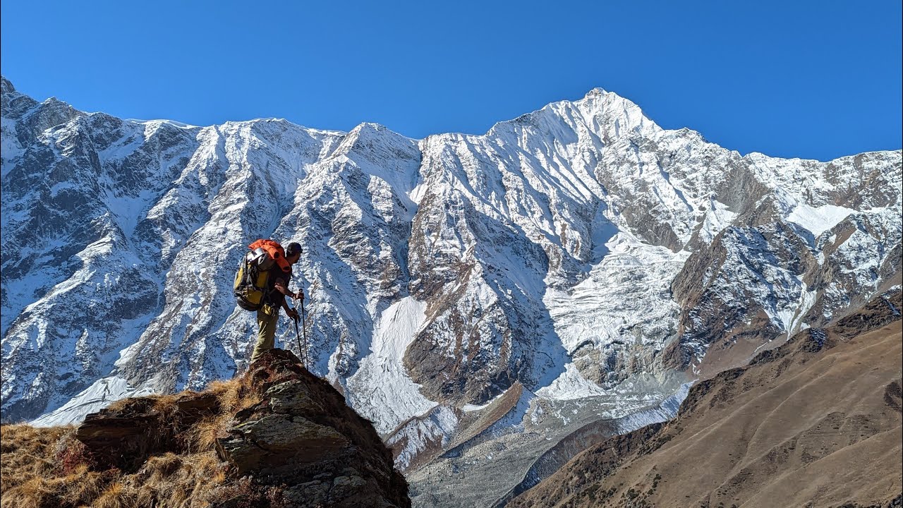
15 Best Treks in Indian Himalaya for June and July
The months of June and July are ideal for trekking in Indian Himalaya as it is the time when the snow starts to melt and one can behold the marvellous spots with green hills, lush forests, flowing springs and glinting waterfalls. It is that time of when the clouds start coming down leaving behind the azure sky, the foliages turning greener and air starts to get cleaner, and I am pretty sure that trekkers wouldn't like to miss this chance to absorb the wonderful natural environment.
If you are one with the fidgety feet who wish to leave no stone unturned to get to see the best of nature then here we have compiled 15 best treks in Indian Himalaya that can be done in June and July.
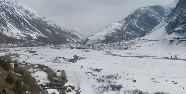
Roopkund Trek, Garhwal
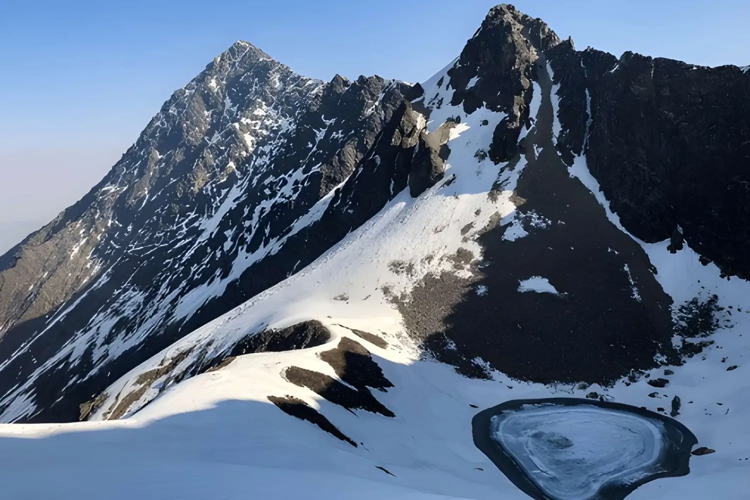
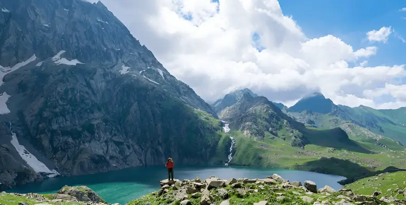
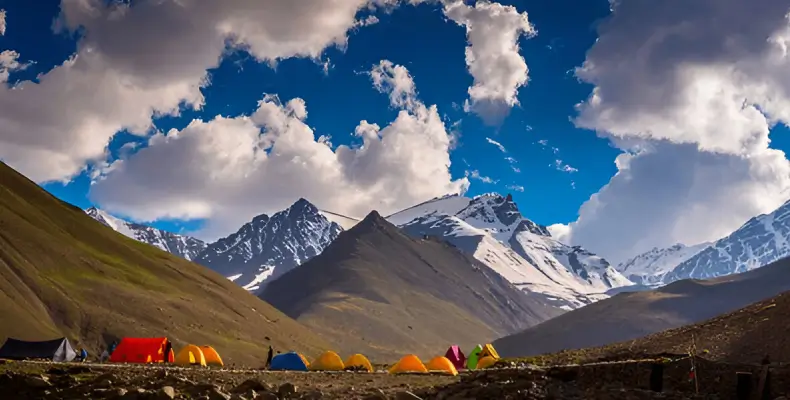
Located at an altitude of 5029 m above the sea level, Roopkund Lake has been attracting trekkers and curious travellers from all over the world to solve the mystery of five hundred skeletons of humans that can be spotted here. To reach the Roopkund Lake, one can either take the Loharjung route, which passes through Didna Village, Ali Bugyal, and Ghora Lotani or can start trekking from Wan, Bedni Bugyal, and Bagubassa. The reason why this trek is a must visit during June and July is the skeleton are easy to spot. Else, for the rest of the lake remains covered in the blanket of snow.
Altitude : 5029 m (16499.34 ft)
Duration : 08 - 10 days
Grade : Medium
Temperature : 4°C - 20 °C (summer) and (-2) °C - 10 °C (winter)
Highlights : Strewn glaciers, snow-clad peaks, narrow passes, twin meadows of Ali Bugyal and Bedni Bugyal, Human Skeletons
Route : Delhi - Kathgodam - Gwaldam - Loharjung - Didna Village - Ali Bugyal - Bedni Bugyal -Bhagwabasa - Roopkund Or Delhi - Rishikesh - Karanprayag - Wan - Bedni Bugyal - Bagubassa - Roopkund
Accessibility / How to Reach
Railways : Kathgodam railway station or Haridwar Junction railway station
Airways : Jolly Grant Airport
Hampta Pass, Himachal Pradesh
Covering some of the finest locations and villages of Himachal Pradesh that too in 8 - 9 days, Hampta Pass trek is ideal for those who wish to experience the high Himalayan adventure. The trail covers beautiful valleys like Chika, Bhalu Ka Ghera, a number of evergreen forests of deodars, spruces and firs, and many picturesque villages like Prerni and Jobri. Trekkers who wish to extend their trip should visit the well - known and striking Chandratal, few kilometres away from Chatru. Hampta Pass trek can be done from June to September but one should go for trekking in June as this when you might see snow on some places.
Altitude : 2227 m (12600 ft)
Duration : 8 - 9 Days
Grade : Medium
Temperature : 12°C - 20 °C (summer) and (-2) °C - 6 °C (winter)
Highlights : Splendid views of the Pir Panjal Ranges
Route : Manali - Pandu Ropa - Chikka - Balu Ka Gera - Chatru
Accessibility / How to Reach
By Road : Manali is well connected by road. AC Volvo runs in a good number from Delhi
Nearest Railway Station : Jogindar Nagar Railway Station
Nearest Airport : Kullu Manali airport
Bara Bhangal, Himachal Pradesh
One of the most challenging trekking routes of Indian Himalaya, Bara Bhangal Trek takes you to the remotest high altitude villages of Himachal Pradesh. The trek is limited to professional trekkers who have sound hiking and camping and a record of travelling in the rugged backcountry. The gradients are challenging but the natural beauty compensates all the efforts. The trip flags off from Manali and the major tourist attractions coming en-route are Lama Dugh, Riyali Thach, Kalihani, Devi ki Marhi, Dal Marhi, Marhi, Plachak, Rajgundha, Thamsar Pass and Bara Bhangal.
Altitude : 2227 m (12600 ft)
Duration : 9-10 days
Grade : Challenging
Temperature : 12°C - 20 °C (summer) and (-2) °C - 6 °C (winter)
Highlights : Splendid views of the Pir Panjal Ranges
Route : Manali - Lama Dugh - Riyali Thach - Base of Kalihani Pass - Devi ki Marhi - Dal Marhi - Bara Bhangal - Marhi - Thamsar Pass - Plachak - Billing - Dharamshala
Accessibility / How to Reach
By Road : Manali and Dharamshala are well connected by road. AC Volvo runs in a good number from Delhi
Nearest Railway Station : Jogindar Nagar Railway Station
Nearest Airport : Kullu Manali airport
Deo Tibba, Himachal Pradesh
Expansive view of lofty mountains, peaks, hanging glaciers, giant moraines, lush meadows and rich variety of flora and fauna await those who wish to go for trekking to Deo Tibba during the June and July season. This 12 days treks start from Manali and passes through remote villages and valleys like Panduropa, Setan, Hampta Pass, Chhika, Piyangniru, and Raurikhaudi, to reach Tilgan. This congenial trek will also take you to grazing grounds of the Gaddi shepherds and the Chandratal Lake (4,480 m). Trekkers who have a keen interest in photography can show their talent by clicking some awesome pictures of the landscapes that one comes across here.
Altitude : 3900 mts (12792 ft)
Duration : 12 days
Grade : Medium
Temperature : 12°C - 18°C (summer) and (-6) °C - 4°C (winter)
Highlights : Camping on river side, Visit caves in Bhanara, landscapes adorned with flowers, thick forest and streams
Route : Manali - Prini - Panduropa - Setan - Chhika - Marhi - Piyangniru - Raurikhaudi - Jogidugh - Tilgan
Accessibility / How to Reach
By Road : Manali is well connected by road. AC Volvo runs in a good number from Delhi
Nearest Railway Station : Jogindar Nagar Railway Station
Nearest Airport : Bhuntar Airport
Kashmir Great Lake, Kashmir
As the name says, this trek will take you to the high altitudes lakes of Kashmir, which has beguiled adventurers and travellers from across the world. The trail covers some of the finest lakes of Kashmir like Gangabal Twin Lake, Vishansar Lake, Dal Lake, Yamsar Lake, and Satsar Lake, many high mountains passes like Nichinai and Gadsar and numberless rivulets and streams. Lush green meadows dotted with silver birch, cloud - kissed peaks, azure lakes and other bounties of nature will accompany trekkers throughout the journey. This trek offers some of the most amazing experience in Kashmir that by no means can be forgotten.
Altitude : 4191mts (13,750 ft)
Duration : 8 - 9 days
Grade : Medium
Temperature : 15°C - 20°C (summer) and (-3) °C - 5°C (winter)
Highlights : High altitude lakes of Kashmir
Route : Srinagar - Sonamarg - Shekdur - Nichinai - Vishansar Lake - Gadsar - Satsar - Gangabal Twin lakes - Naranag
Accessibility / How to Reach
Nearest Railway Station : Jammu Tawi or Udhampur railway station
Nearest Airport : Srinagar Airport
Nubra Valley Trek, Ladakh
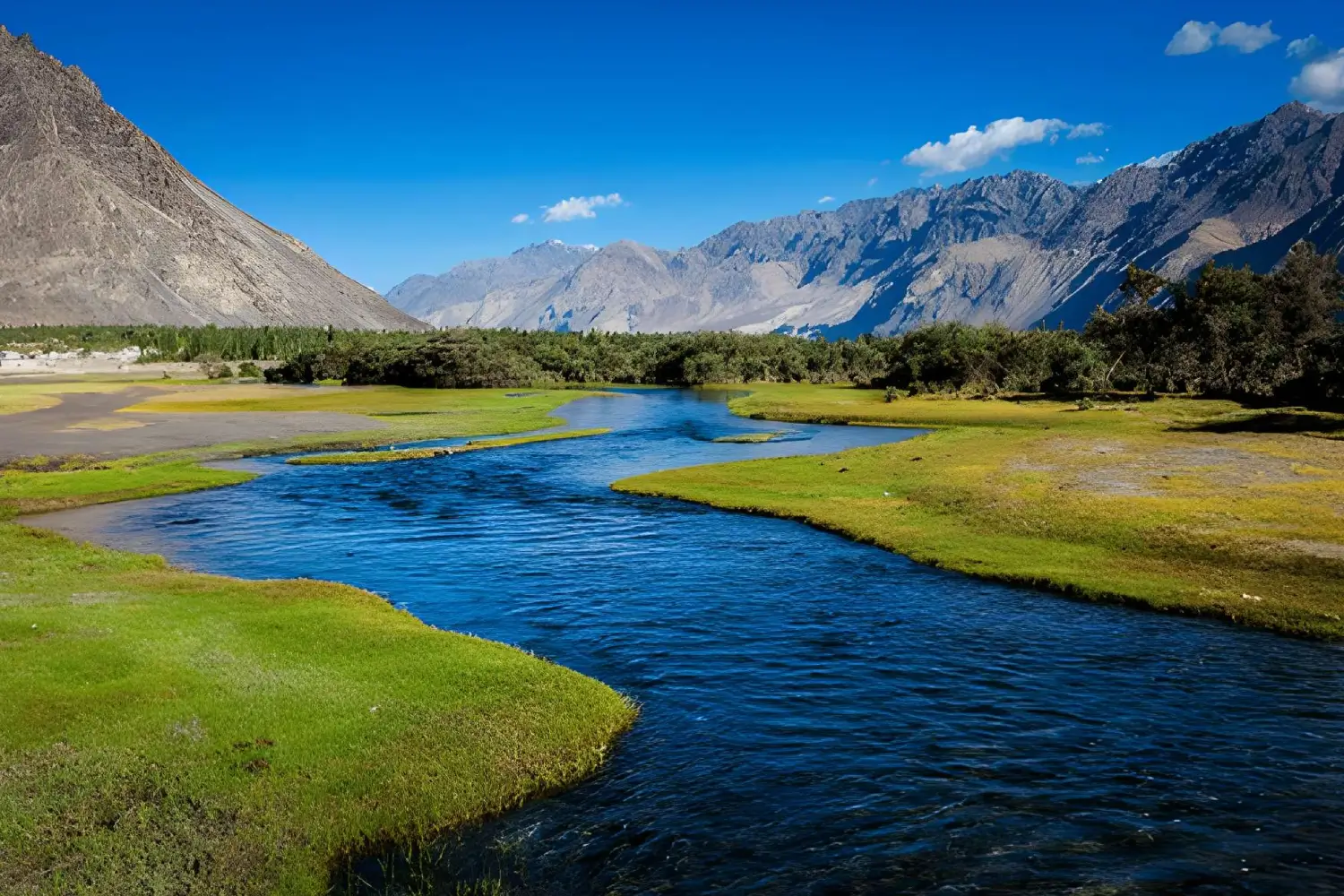
On the Nubra Valley trek, trekkers live the wildest fantasies of their life like passing through the world's highest motorable road on Khardung La and Lasermo La and ride on the two-hump Bactrian camel. This exhilarating trek allows trekkers from all over the world to explore something unusual at every turn. The trek begins from and then passes through Khardung, Khalsar, Agyam, Khalsar, Tirit, Lukung, Tegar, Sumur and Diskit to reach Phyang Valley. On this trek, you can see sand dunes, monasteries, a ruined palace and at Turtuk, a whole different culture (Balti) to discover. June and July are the best time to go for trekking in Nubra Valley because during this time of the year the valley blossoms with varied colours flowers. The picturesque and breathtaking view of the valley puts this place even on the list of beautiful places in India. Make a point to take a special permit to visit the Nubra Valley.
Altitude : 5496 mts (18031.5 ft)
Duration : 10 days
Grade : Medium
Temperature : 20°C - 30°C (summer) and (-3) °C - 8°C (winter)
Highlights : Highest Mountain passes in the world- Khardung La and Lasermo La, witness and ride one of a kind camel species in the world, Bactrian camel
Route : Leh - Khardung La - Kyagar - Hunder - Skarchen- Brok Yogma - Hunder Valley - Lasermo La - Phyang Valley - Leh
Accessibility / How to Reach
Nearest Airport : Kushok Bakula Rimpochee Airport in Leh
Markha Valley, Ladakh
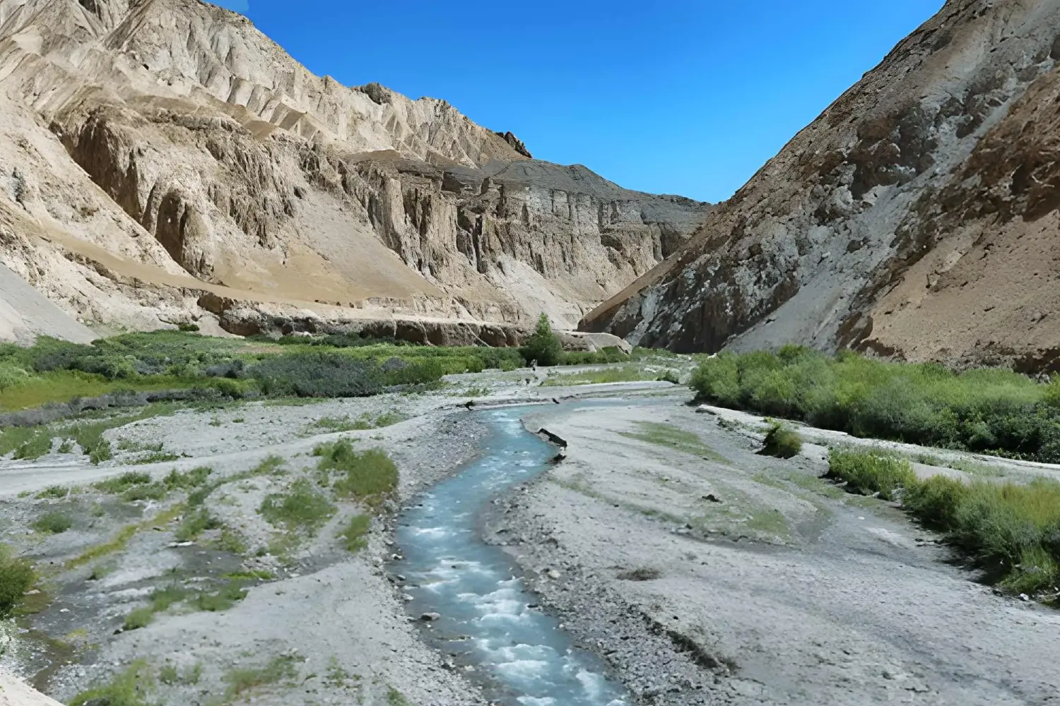
Dubbed as the most sought - after trek of Ladakh, Markha Valley cut and runs through dramatic landscapes. Passing through the cold desert valley, high mountain passes, and Buddhist monasteries make this trek more adventurous. The Markha Valley Trek also goes inside Hemis National park and gives an opportunity to meet the nomadic families as they herd their yaks and sheeps. Trekking here is an amazing experience as it allows trekkers make their way through waist-deep water and transverse beautiful places like Spituk, Zingchen, Skiu via high pass Gandala (4,800 m). The trek is not meant for faint hearted people and it requires stamina to accomplish it.
Altitude : 5150mts (16896.33 ft)
Duration : 11 days
Grade : Medium
Temperature : 20°C - 30°C (summer) and (-3) °C - 8°C (winter)
Highlights : Visiting Buddhist monasteries pass by the remote mountain villages
Route : Leh - Spituk -Trek to Zingchan (3200 mts/10496 ft) - Yurutse (3900 mts/12792 ft) - Skiu (3100 mts/10168 ft) - Markha - Thochuntse - Nimaling- Kongmaru La - Sumdo- Hemis (4 hrs trek) - Leh
Accessibility / How to Reach
Nearest Airport : Kushok Bakula Rimpochee Airport in Leh
Pin Parvati, Himachal Pradesh
Speaking of the most challenging treks in Himachal Pradesh than Pin Parvati is the best contender. The trek was discovered in 1884 as an alternative passage to the Spiti valley. Covering the maximum altitude of 5319 m, the trek it is counted amongst the most challenging trails in India. The trek also passes through the edges of the Pin Parvati National Park, so there is the slightest possibility that you might spot snow leopards here. Since the trail passes through steep slopes, gradual climbs, barren mountains, snow-clad peaks and rugged passes, trekking here isn't at all easy and one requires to get acclimatised to the environs.
Altitude : 6125 m. (20095.1 ft)
Duration : 10 days
Grade : Challenging
Temperature : 12°C - 18°C (summer) and (-6) °C - 4°C (winter)
Highlights : Trek on high altitude mountain passes, meet and greet people of nomadic villages, camping on Mantalai lakeside
Route : Manali - Manikaran - Barsheni - Khirganga - Tunda Bhuj - Thakur Kuan - Odi Thach - Mantalai Lake - Mantalai - Base of Pin Parvati Pass - Campsite over Pin Pass - Tiai - Mud - Gulling - Kaza - Manali
Accessibility / How to Reach
By Road : Manali is well connected by road. AC Volvo runs in a good number from Delhi
Nearest Airport : Bhuntar airport in Kullu and Chandigarh International Airport in Chandigarh
Nearest Railway Station : Jogindernagar Railway Station
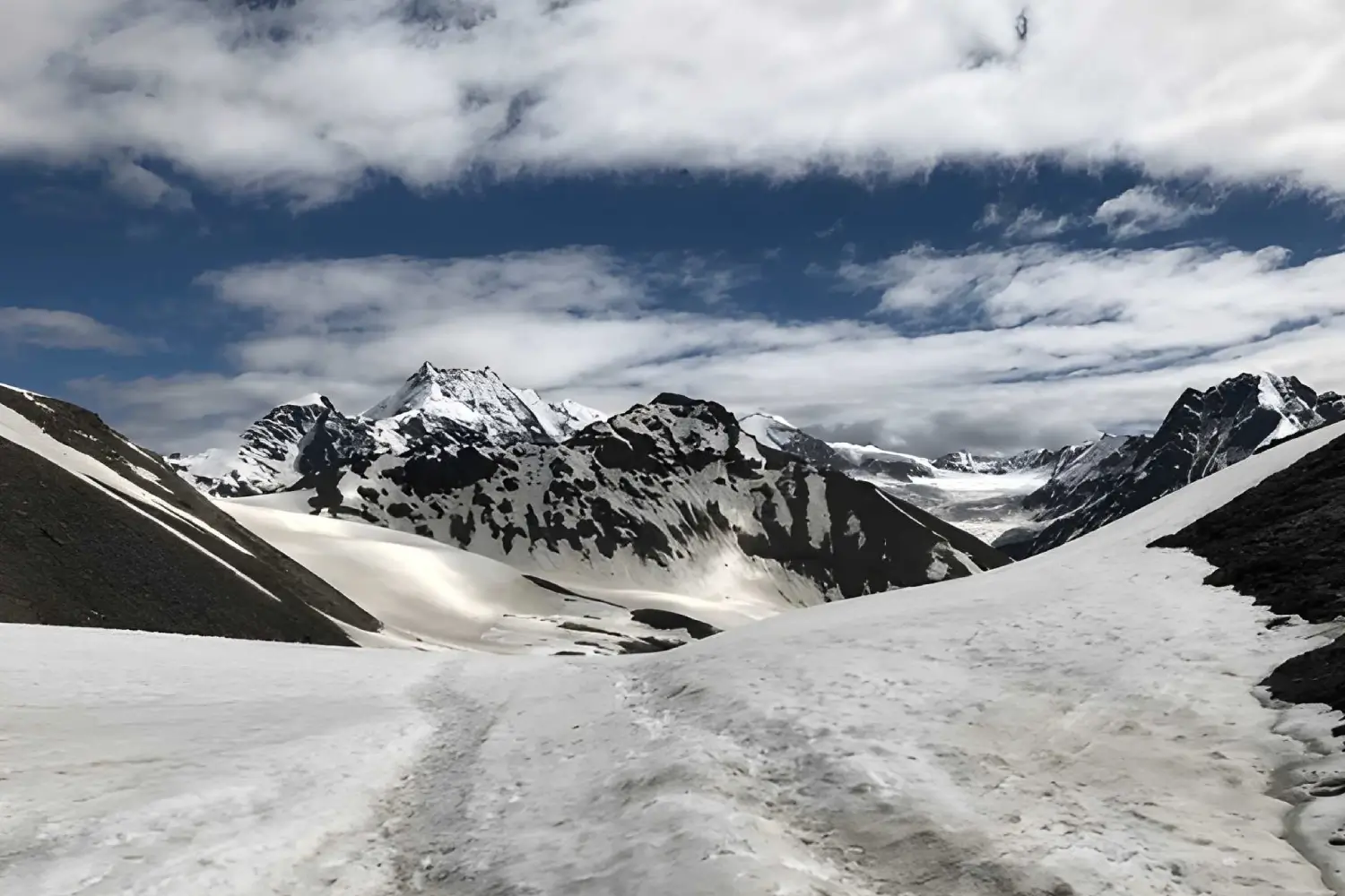
Stok Kangri, Ladakh
Those who are looking for an extra dose of adventure in June should opt for Stok Kangri trek. One of the most challenging treks in the Ladakh region, to complete the Stok Kangri Trek one will have to do rope climbing, mountain trekking, hiking through rough snow patches and even need crampons. Stok Kangri peak can be approached from Sumdo, which is a heaven for birdies. The trail further leads to Shang Phu and Shang La. From Shang La, a downhill trek will take you Matho La. After crossing Matho La, you will pass through a grassy land that is situated beside the melt water stream and then trek towards Stok Kangri base camp; thereafter a strenuous trek up the Stok Kangri peak follows. Located in the dreamy destination of Ladakh, the Stok Kangri Climb is ideal for both novice and experienced trekkers.
Altitude : 5319 m (17452 ft)
Duration : 10 days
Grade : Challenging
Temperature : 12°C - 18°C (summer) and (-6) °C - 4°C (winter)
Highlights : Visit important monasteries of Ladakh, view of stunning Zanskar and Karakoram ranges, Cross through the gorgeous Markha Valley
Route : Leh - Zingchan - Stok La - Mankorma - Base Camp - Stok Kangri (6150 m) - Base Camp - Stok village - Leh
Accessibility / How to Reach
Nearest Airport : Kushok Bakula Rimpochee Airport in Leh
Indrahar Pass Trek, Himachal Pradesh
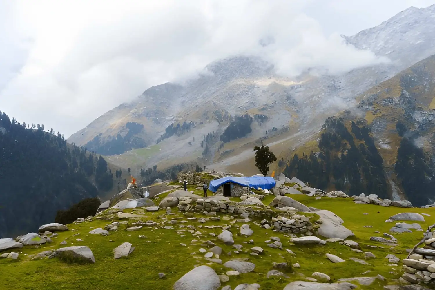
Taking you to sparkling streams, deep gorges, tranquil lakes and deodar forests, one can see the best of Himachal Pradesh's natural bounty by embarking on Indrahar Pass trek. The trek stretches from 2875 m to 4425 m, which makes it suitable for people of all ages. Starting and ending at McLeodganj, the trail passes through Dhramkot village, Triund, Lahesh Cave, Indrahar Pass, Chatru Parao, Kuarsi Nala, Machetar and Chamba Village. The panoramic views of Dhauladhar and other Himalayan peaks add further charm to this trek.
Altitude : 4375mts (14245 ft)
Duration : 9 days
Grade : Moderate
Temperature : 12°C - 20°C (summer) and (-2) °C - 6°C (winter)
Highlights : View of peaks like Moon (4666 m), Arthur's Seat (4525 m), Camping in Lahesh Cave, visit beautiful Chamba Valley
Route : McLeodganj - Triund (2994 mts/9818 ft.) - Lahesh Cave - Indrahar Pass - Chatru Parao - Kuarsi - Machetar (5886 ft) - Chamba - Pathankot - Delhi
Accessibility / How to Reach
By Road : Dharamshala is well connected by road. AC Volvo runs in a good number from Delhi
Nearest Airport : Gaggal Airport or Chandigarh international airport
Nearest Railway Station : Pathankot Railway Station
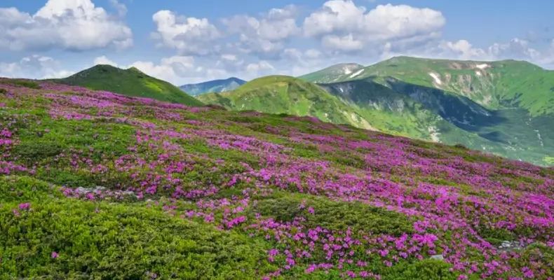
Valley of Flowers, Garhwal
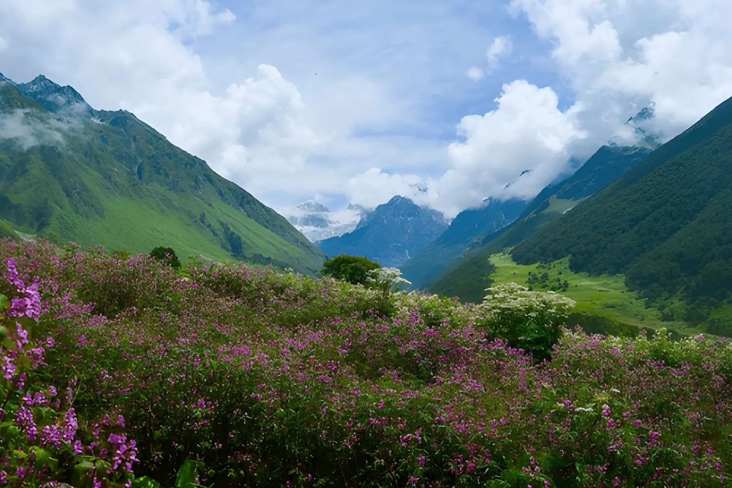
One of the most beautiful treks on the list, Valley of flowers trek is famous for a remarkable variety of flowers. Located in the Garhwal region of Uttrakhand in the foothills of Himalaya, the trail to reach the valley will be unarguably the best journey of your life. The virgin beauty of this mystical valley has always lured botanist, nature lovers, and adventure lovers. The trek holds a strong mythological connection as according to locals; it was once Lord Indra's garden, Nandan Kanan and the place where Hanuman found Sanjeevani, the magical here. Considered as the moderate trek of Garhwal region, here one can reach by trekking for 2 days by passing through Govindghat and Ghangaria. A delightful mixture of adventure and serenity, this place is a must visit for every adrenaline junkie.
Altitude : 3657.6 m (12,000 ft)
Duration : 6 days
Grade : Moderate
Temperature : 15°C - 30°C (summer) and 0 °C - 6°C (winter)
Highlights : 500 plus varieties of flowers, lush green landscapes
Route : Haridwar - Govindghat - Ghangaria - Valley of Flowers and back
Accessibility / How to Reach
Nearest Airport : Jolly Grant Airport, Dehradun
Nearest Railway Station : Haridwar Railway Station
Chenap Valley Trek, Garhwal
Quite unknown amongst the trekkers, Chenap Valley Trek is the second most beautiful trek in the list, after the valley of flowers. The trek is a must visit during June as one can many flowers all around the valley, which further amplifies its beauty. Starting from Chai, the trek will further pass through rugged paths to reach Thaing, a small village known for cultivating Brahma Kamal. After crossing Thaing, you will find series of teak forest till you reach Chenap Valley. The flower variety in the Chenap Valley is enigmatic. The valley leaves an imprint of a ceaseless picture exclusive of any sort of infringement. Also, you can visit Swanu and Nandu lake, which are few kilometers away from the valley. The Chenap Valley is a delight not only for nature lovers and trekkers but also for photographers as it is replete with stunning views of snow - capped peaks and lush landscapes.
Altitude : 4750 m (15583.99 ft)
Duration : 09 days
Grade : Moderate
Highlights : Confluences, Crystal Clear Lake, Verdant Valley, Snow clad Himalayan Peaks
Route : Rishikesh - Joshimath - Vishnu Prayag - Thaing Village - Dhar Kharak - Chenap Meadow - Thaing Village - Vishnu Prayag - Joshimath - Srinagar - Rishikesh - Haridwar
Accessibility / How to Reach
Nearest Airport : Jolly Grant Airport, Dehradun
Nearest Railway Station : Haridwar Railway Station
Spiti to Ladakh Trek, Ladakh
Those wish to see the see the best of two states, Himachal Pradesh and Jammu and Kashmir, should opt for this treks as it will take you to so many places that you will be spoilt for choices. The trail passes follow the marks of the ancient trade route, which is still used by the nomadic herdsmen of Changthang. The trek starts from Manali and cuts and runs through Kaza, Dumla, Thaltak, Parang La, Chumik Shilde, Kiangdom, Korzok, Gyama, Rajung, Karu and concludes at Leh. For those who wish to go on an unending exploration, the journey should sign-up for this trek. Spiti to Ladakh Trek
Altitude : 5319 m (18297.24 ft)
Duration : 20 days
Grade : Challenging
Temperature : 11°C - 28°C (summer) and 0 °C - 6°C (winter)
Highlights : Cross Himalayan passes, Camp under the star-studded sky of Ladakh, Witness ancient and architecturally rich monasteries of Ladakh and Spiti
Route : Manali - Kaza - Kibber - Dumla - Thaltak - Bongrojen - Parang La - Dak Karzong - Datang Yongma - Chumik Shilde - Kiangdom - Korzok - Gyama - Rajung Karu - Nuruchan - Tso Kar - Tanglang La - Leh
Accessibility / How to Reach
Nearest Airport : Bhuntar Airport, Kullu
Nearest Railway Station : Joginder Nagar Railway Station
Lamayuru Padum Trek
Taking you to the heartland of Zanskar by passing through several high mountain passes and numberless rivers, Lamayuru Padum comes under the category of the challenging treks of Ladakh, which can be best experienced in the month of June. Zanskar is one of the scantily inhabited Himalayan valleys blessed with immense natural scenic beauty. The traditional hues of Ladakh accompany treks throughout the journey, even in the remotest places. The trail of the trek throws challenges at every turn but the view of natural bounties of Ladakh keeps you motivated to reach the final destination, no matter how much nerve - racking the situation can be. The trekking trail covers Prinkti La, Sengge La, Lingshed, Parfila, Pishu, Karsha before it reaches Padum.
Altitude : 5000 m (16404.2 ft)
Duration : 19 days
Grade : Challenging
Temperature : 11°C - 28°C (summer) and 0 °C - 6°C (winter)
Highlights : Visit ancient and architecturally rich monasteries of Ladakh and Spiti
Route : Leh - Lamayuru - Wanla - Hanupatta - Photoskar - Sengge La -Lingshed - Snertse - Hanumil - Pishu - Karsha - Karsha-Padum - Kargil
Accessibility / How to Reach
Nearest Airport : Bhuntar Airport, Kullu
Darcha to Padum Trek
Covering the three prominent regions of Ladakh, Darcha Padum promises adventure at every turn and is quite famous amongst adventurers from Europe. Darcha Padum Trek will take you on a roller coaster journey through Leh - Ladakh and Zanskar, which was earlier a part of the West Tibet Kingdom. The route was used by nomads to move from one land to the other and trade their staples, wood barley and salt with the people of lowland. The trail of this trek demands frequent ascending and descending, walking on streams, crossing high mountains, which makes it a perfect pick for the professional trekkers. The trek starts from Darcha and further passes through Palamo, Zanskar Sumdo, Chuminakpo, Lakhung, Prune, and Ichar, to reach Padum. Linking some of the finest and dramatic landscapes of Ladakh, Darcha Padum trek unquestionably offers most classic trekking experience in India. By opting for this trek, you will get an opportunity to see how culturally rich people are there in Ladakh and Zanskar.
Altitude : 5090 m (16699.48 ft)
Duration : 19 days
Grade : Moderate
Temperature : 11°C - 28°C (summer) and 0 °C - 6°C (winter)
Route : Manali - Keylong - Darcha - Zanskar Sumdo - Chumik Nakpo - Shingo-La - Lahkhang - Kargyak - Purne - Raru - Padum
Accessibility / How to Reach
Nearest Airport : Bhuntar Airport or Chandigarh International Airport
Nearest Railway Station : Joginder Nagar Railway Station
About Arun Joshi
A thoroughbred adventurer, Arun Joshi was born in the picturesque and landlocked district of Chamoli, Uttarakhand. He is well known for his close association with the Indian Himalayas for the past 16 years, and knows the region inside out. His vast knowledge and first-hand experience of trekking to the many challenging regions of the Indian Himalayas have also helped him to establish himself as the go-to guide in the region.
Recent Posts
5 Guided Treks in Uttarakhand to Try This Winter from January to March 2026
Feb 22, 2026
Famous Treks for Photography in the Indian Himalayas : A Visual Journey
Feb 10, 2026
15 Best Treks in Indian Himalaya for June and July
Jan 30, 2026
Top Treks in Sikkim To Make Your Summer 2026 Adventuresome
Jan 28, 2026
8 Best Monsoon Treks in the Indian Himalayas that You Must Do in 2026
Jan 15, 2026
Most Popular
8 Best Monsoon Treks in the Indian Himalayas that You Must Do in 2026
Jan 15, 2026
0 views
Top Treks in Sikkim To Make Your Summer 2026 Adventuresome
Jan 28, 2026
0 views
Famous Treks for Photography in the Indian Himalayas : A Visual Journey
Feb 10, 2026
0 views
5 Guided Treks in Uttarakhand to Try This Winter from January to March 2026
Feb 22, 2026
0 views
15 Best Treks in Indian Himalaya for June and July
Jan 30, 2026
0 views
Ultimate Himalayan Trekking Adventures Await
Join TrekkingInIndia.com for an unforgettable Himalayan journey through stunning mountains, peaceful valleys, and rich local culture.